The 47-mile long Chief Joseph Scenic Byway, shown on maps as Wyoming 296, links the town of Cody, WY. with the Beartooth Highway and the Northeast entrance to Yellowstone National Park. The route crosses the Shoshone National Forest through the Absaroka Mountains to the Clarks Fork Valley and is considered one of the most scenic roads in America.
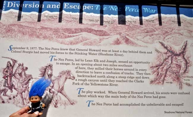
The highway is named after the Native American chief of the Nez Perce who, following the Battle of the Big Hole in Idaho in 1877, brilliantly led his tribe of 900 warriors, old men, women and children through Yellowstone, Wyoming, Idaho, and Montana as they fled from the U.S. Cavalry who were trying to force the tribe onto a reservation. They were desperately trying to cross over into Canada where they would be safe.
On an 1,800 mile journey through mountains and across plains, constantly on the move while fleeing from numerous detachments of Army Cavalry with warriors fighting a rear-guard action almost the entire way, Chief Joseph and his tribe outsmarted and outmaneuvered the army troops. The surviving 431 Indians were finally stopped just 30 miles from the border. After a 6-day battle, Chief Joseph, unwilling to leave his sick and injured behind, surrendered and made his famous speech - "Hear me, my chiefs, I am tired; my heart is sick and sad. From where the sun now stands, I will fight no more forever."
The highway is named after the Native American chief of the Nez Perce who, following the Battle of the Big Hole in Idaho in 1877, brilliantly led his tribe of 900 warriors, old men, women and children through Yellowstone, Wyoming, Idaho, and Montana as they fled from the U.S. Cavalry who were trying to force the tribe onto a reservation. They were desperately trying to cross over into Canada where they would be safe.
 |
| Sunlight Creek in the valley below. |
 |
| At the top of Dead Indian Pass. |
 |


No comments:
Post a Comment